Nature
Mapping
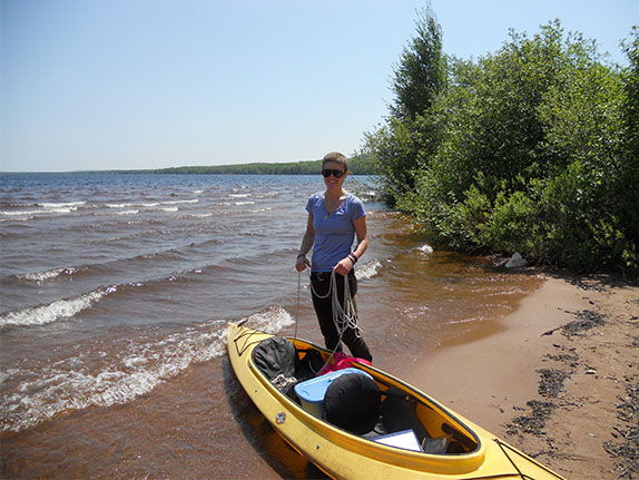
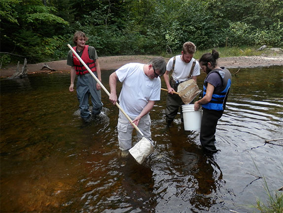
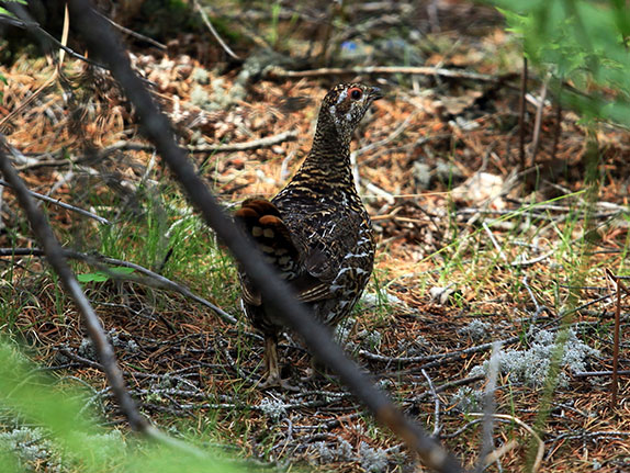
The Yellow Dog Watershed Preserve is in the process of launcing a Nature Mapping program this summer. The goal is to start collecting data on animal and plant sightings for use in identifying the characters of the ecosystem in greater complexity. The process of collecting data includes going out into the field with a trained eye and a personal devise similar to a palm pilot(PDA). The PDA will have custom made software to assist the observer in recording information. We will be looking for tracks, scat, noises, fur, or visual observation to record a plant or animal’s presence in the watershed. The information will eventually be analyzed via ArcMap to understand movement, breeding areas, the number of in a species, and more. This is a very exciting program that was brought to us by a member of the Huron Mountain Club and Jon Young of the Wilderness Awareness School. These people have been working with us to establish the program, obtain funding, and to receive training. We will be working with the community and schools to incorporate involvement of the local citizens. Let us know if you are interested in this program. We will post an announcement for any trainings that would be upcoming in the spring.