Blog > The Story Map Project: Wild and Scenic Yellow Dog River
The Story Map Project: Wild and Scenic Yellow Dog River
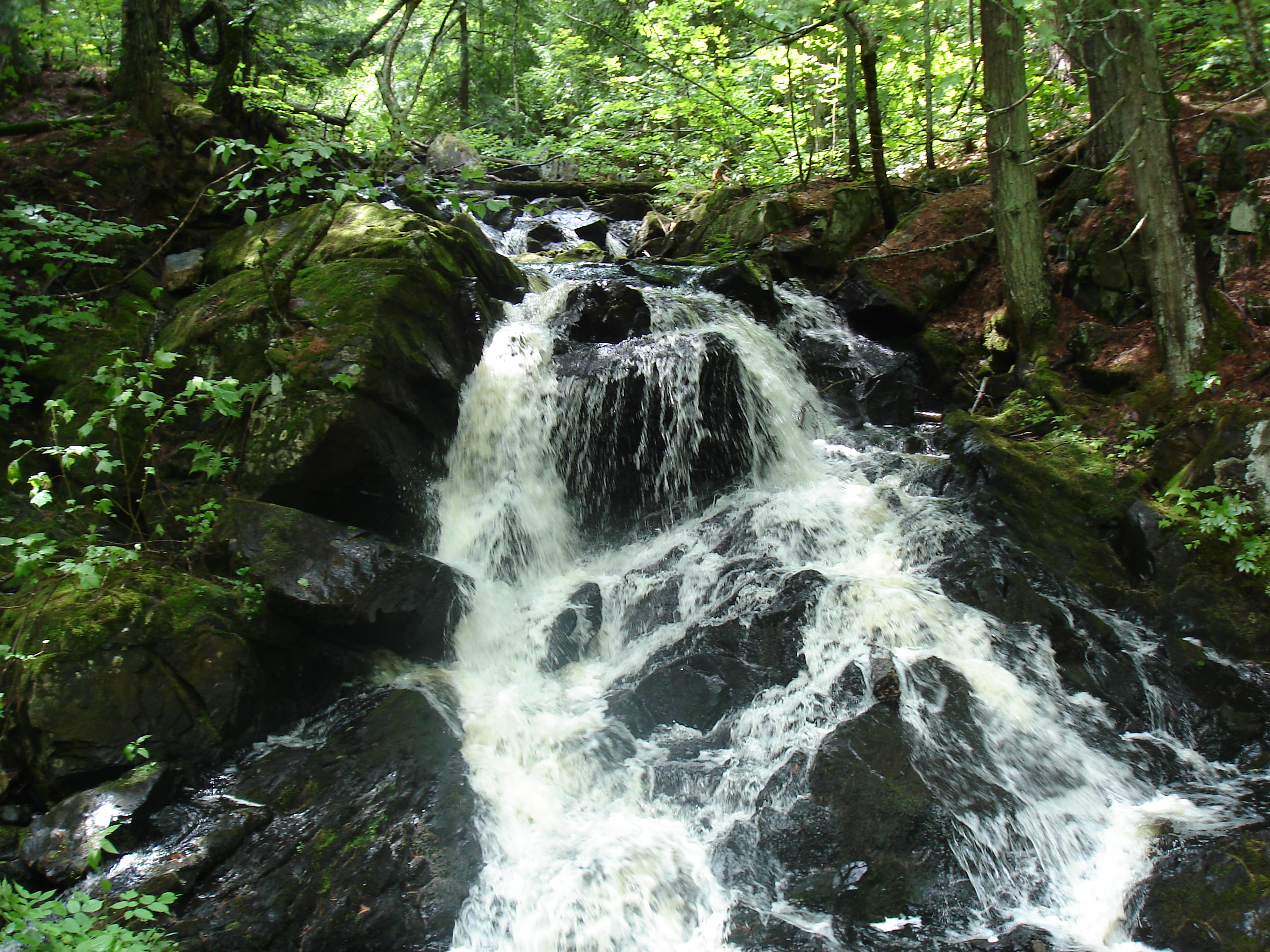
Story map link: Wild and Scenic Yellow Dog River
The Creation of the Story Map: Wild and Scenic Yellow Dog River which highlights the designated wild portion of the river, has been a six- month long adventure and learning experience. It all began back in April with the receipt of a $3000.00 grant from Patagonia and River Network to facilitate its making in order to celebrate and to raise awareness of the Wild and Scenic Rivers Act created in 1968 by President Lyndon B. Johnson, and also to begin a new campaign to increase the Yellow Dog River’s designation. This unique area of Michigan harbors some of the most pristine, unspoiled, and intact wilderness east of the Mississippi River; however, our waters are not without their threats. Extraction industries, new roads, and other developments continue to increase in the Yellow Dog Watershed and surrounding areas. In order to ensure that our wilderness areas remain pristine and pure, we must be ever vigilant.To begin, this grant funding sent YDWP Administrator, Rochelle Dale, to River Rally 2018 in California, to learn as much about the Wild and Scenic Rivers Act and the making of story maps as she could. Since 2018 marked the 50th anniversary of the Act, Wild and Scenic information was the focus of this year’s River Network event, and without this, the project could not have been completed so smoothly. So, with the necessary tools in hand, the fieldwork could begin.
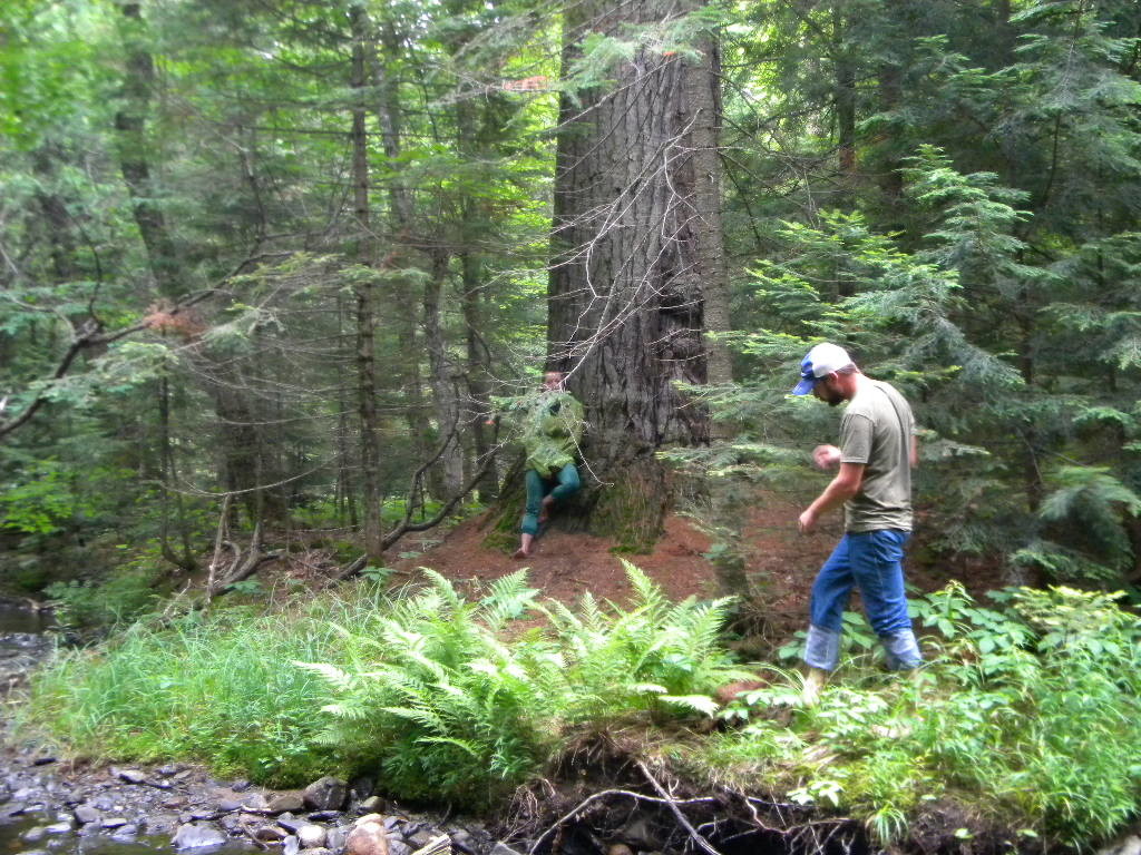
Only a small portion of the Yellow Dog River is designated Wild and Scenic at this point, and it is a very remote section located in the McCormick Wilderness Area. After an hour’s drive from Big Bay to the McCormick’s north entrance, access to the river is by foot, crossing gooshy swamps, and slippery logs spanning the secondary branches to the main river branch and then up often-treacherous granite rock faces to the top of the falls, a two mile trek one way.
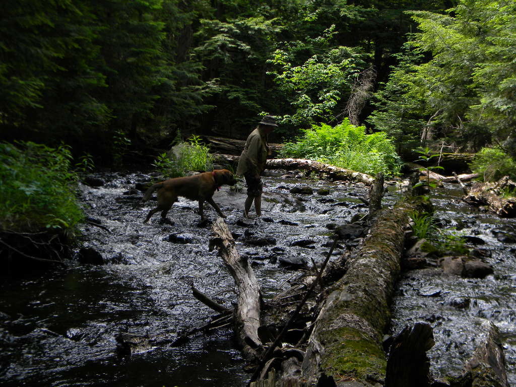
We made at least four trips to the Wilderness Area to gather data, take photographs, and film, drawing in volunteers as far afield as Indiana and Connecticut. These hardy and enthusiastic volunteers endured the rains, mosquitoes, cold and heat, as well as a few misadventures, like the unfortunate drowning of the drone.
Watch the following video for a glimpse of one of our expeditions before the major drone mishap.
As the fieldwork came to an end, the actual building of the story map began. Story maps are a function of Esri Arc GIS. They are an innovative multimedia tool that provides the background and means to tell a comprehensive story with text, photos, videos, and of course, maps. This process involved another set of expert volunteers. Brian Noell edited all of our videos as well as text, while Jay Johnson created all of the maps. All in all, about a dozen people, from 11 year olds to 71 year olds, were needed to make this project a success.
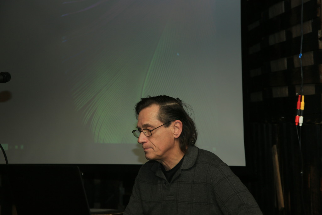
Finally, on November 7, at the Yellow Dog Watershed Preserve’s annual meeting at the Ore Dock Brewery in Marquette, we presented the completed Story Map to a crowd of about 75-100 members and friends. To view the Story Map click on this link: Wild and Scenic Yellow Dog River The map was preceded by the film Protected: A Wild and Scenic River Tour, which gave viewers an overall look at the Wild and Scenic Rivers Program. Both were well received. Attendees had important questions afterwards, and member support to look into further wild and scenic designation seemed obvious. YDWP will investigate the process and assess the viability of possible further designation as we enter into the 2019 New Year.
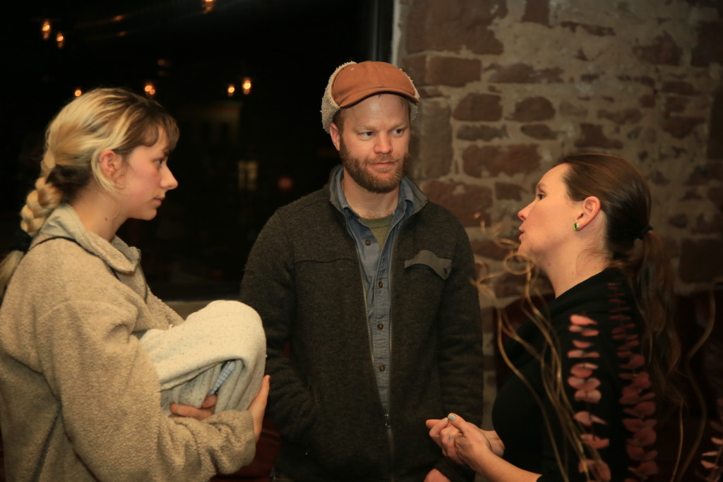
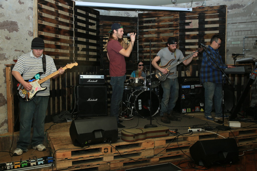
We ended our evening with music by Everything Under the Sun, a silent auction, and of course, beer from the Ore Dock Brewing Co. Thank you to everyone who participated and helped out. The food, music, presentations, and community spirit were great.
The mission of the Yellow Dog Watershed Preserve has always been to preserve the Yellow Dog River and its watershed in its most natural state for the benefit of people now and for future generations. In this regard, we have preserved over 1300 acres of land within the watershed and created the Yellow Dog Community Forest to ensure public access to key river destination points. We also strive to educate and raise awareness whenever we can about issues that impact the well- being of the river or our environment as a whole. The creation of the story map continues this tradition. Many local community members are currently unaware that part of the Yellow Dog River is a designated wild river. Still others are unaware of the Wild and Scenic Rivers Act. Hopefully, the story map and our events have spread the word, and will help create pride, enthusiasm, and responsibility for our special places and rivers.
