Blog > Native Plant Walk along Woodland Road
Native Plant Walk along Woodland Road

NORTHWOODS NATIVE PLANT SOCIETY OUTING
Proposed Kennecott haul road and North Country Trail
Michigamme Highlands, Marquette County, Michigan
Saturday, August 28, 10 AM Eastern (9 AM Central).
Leaders:
Emily Whittaker, Executive Director, Yellow Dog Watershed Preserve
Steve Garske, Invasive Plant Specialist, GLIFWC
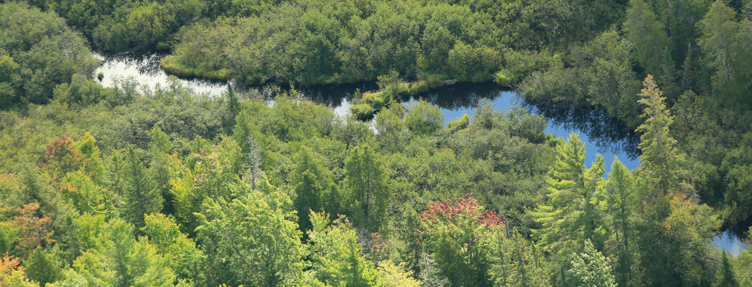
This trip will begin near the southern end of the proposed mining haul road through the scenic Michigamme Highlands. We’ll drive the southern 2/3 of this gravel road. At the north end of the road we’ll take a hike along a seldom-visited and very scenic portion of the North Country Trail. This trail runs through an amazing variety of natural habitats ranging from open rock outcrops to northern hardwood forest and upland white pine and cedar. At the far end of the trail, we’ll visit a forest of red oak and white pine, where a plant never before seen on an NNPS trip grows in perfusion! This area is also the heart of Michigan’s moose range, so there is a (small) chance that we could see a moose. This trip will also provide a chance to see a little of what the big mining companies are planning for this still-isolated and wild part of the UP.
What to bring: Hiking boots and clothing, bug dope (biting bugs were not bad at all as of last week) water, trail snacks, camera.
Directions: From Bruce’s Crossing, follow M28 and M28/41 east 68.5 miles to County Road FX, also known as the Wolf Lake Road. This road starts 1.5 miles east of the BP station in Humboldt. Follow the Wolf Lake Road north (with a short jog to the east at the beginning) from Hwy 28/41. From Marquette, drive west about 30 miles to Wolf Lake Road.
At the start of the Wolf Lake Road you should see a brown state sign with the words, “Access site – Wolf lake – Brocky Lake”. Go north 3.5 miles along this gravel road, where we will meet up for the rest of the trip. You can park off the road there if you wish to carpool. From here it is another 12.0 miles north along this road to the Dead River. (With reasonable care this gravel road is quite passable up to the river with a passenger car.) From the river we’ll walk 0.7 miles north to the start of the North Country Trail. The walk from the river to the easternmost hill on the trail and back takes about 2 hours at a moderate pace, so plan on 3-4 hours round-trip (including stops along the way).
PLEASE LET US KNOW IF YOU PLAN ON ATTENDING, SO WE CAN PLAN AHEAD AND SO NO ONE GETS LEFT BEHIND!
Contact Steve at:
asimina@alphacomm.net
715-682-6619 x 126 (GLIFWC)
or
Emily Whittaker
ydwp@yellowdogwatershed.org
906-345-9223
by Thursday, August 26th, if you plan on attending.

