Blog > Celebrating Fifty Years of Wild and Scenic
Celebrating Fifty Years of Wild and Scenic
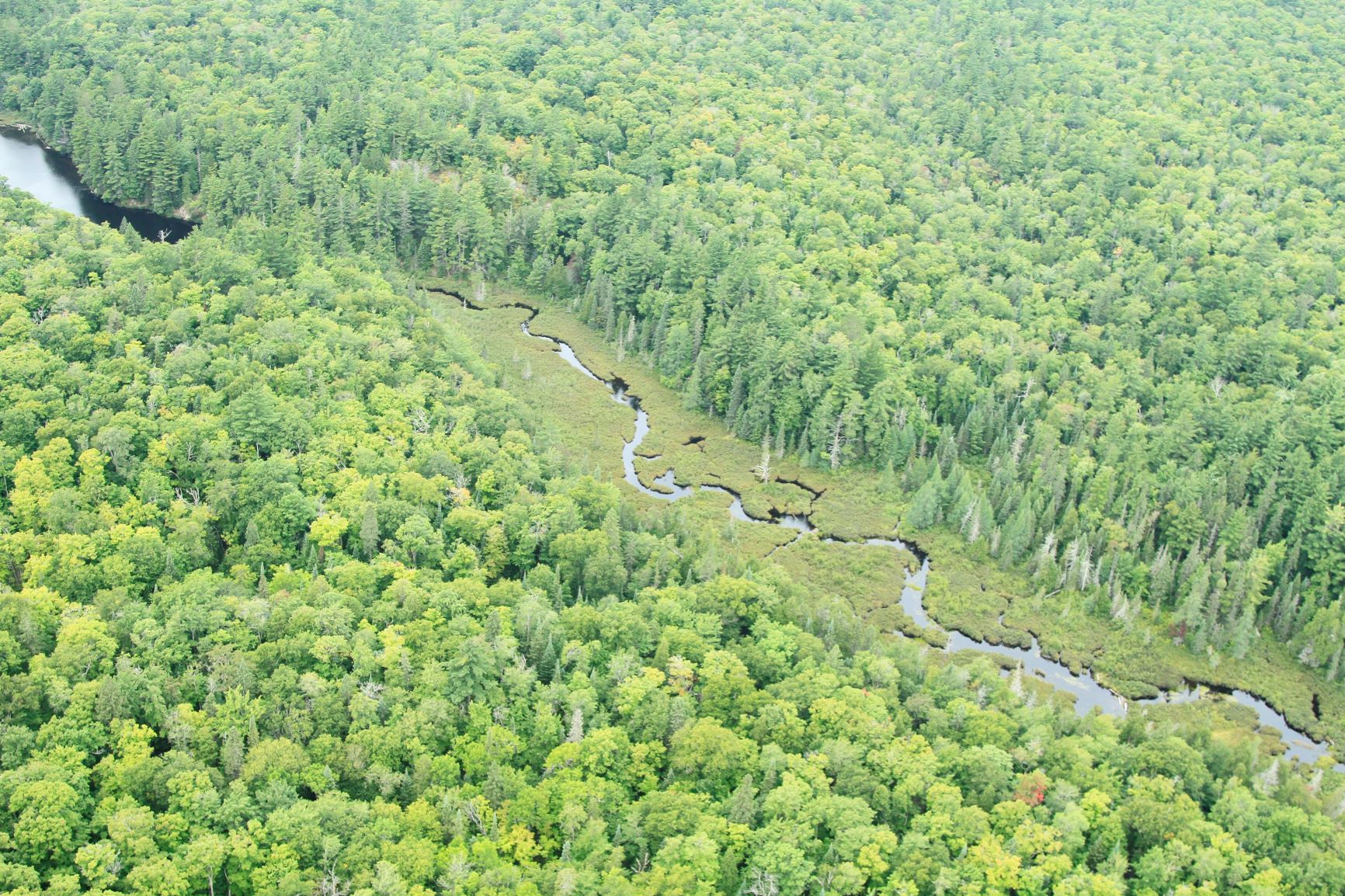
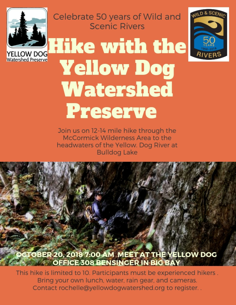
The Yellow Dog Watershed Preserve will host two events this fall to celebrate the Yellow Dog River and the 50th anniversary of the Wild and Scenic Rivers Act. First, on October 20th, chairman, Chauncey Moran, will lead a 12-14 mile hike through the McCormick Wilderness Area to Bulldog Lake, the headwaters of the river. He and son Jeremiah scouted this route last year when they embarked on a several day walk of the entire length of the river, from Bulldog Lake to Lake Superior. Because of the rugged terrain and the fact that there is no trail, the October hike is limited to 10 participants, so register early to secure a spot by contacting rochelle@yellowdogwatershed.org.
Next will be our annual meeting at the Ore Dock in Marquette on November 7, 6pm -9pm. Everyone is welcome to celebrate with food, music, silent auction, film and the premier of the story map which highlights the designated wild portion of the Yellow Dog River.
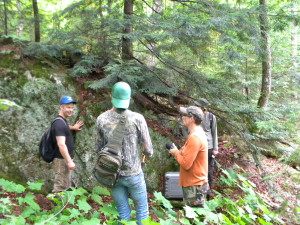
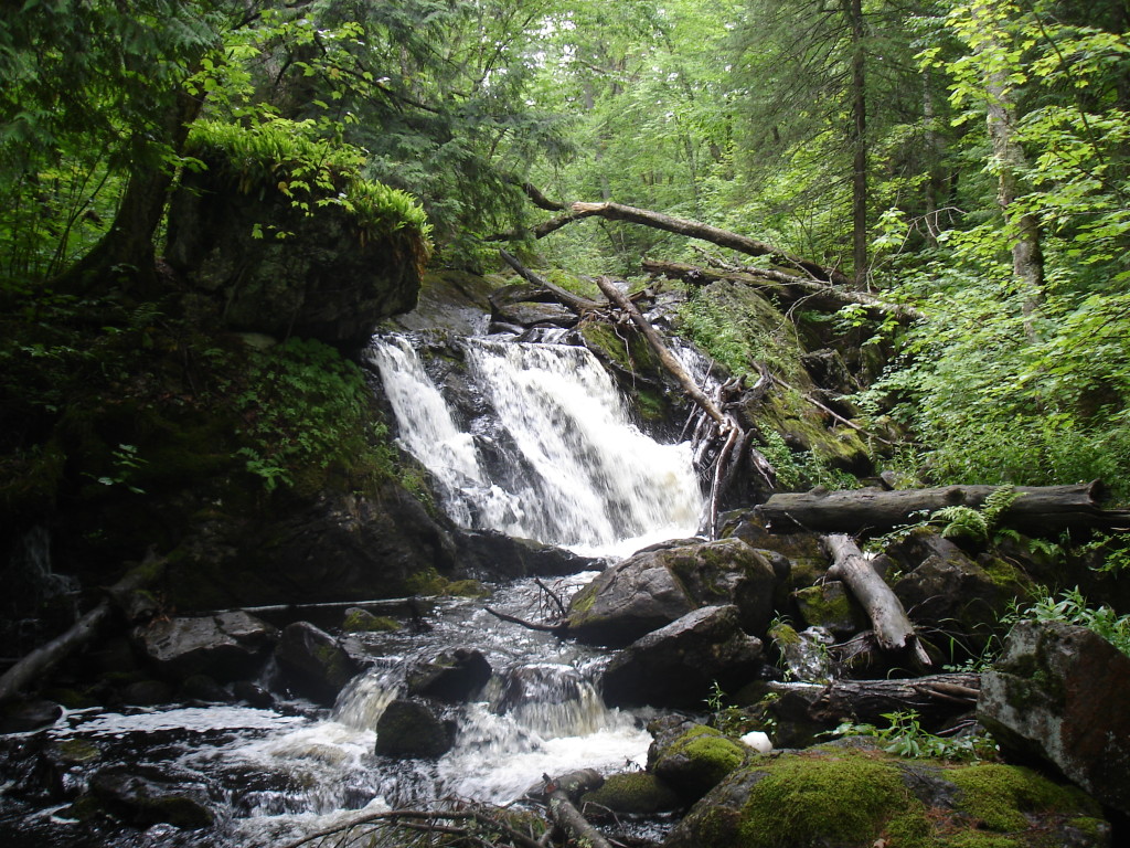
The creation of the story map has been a journey of its own with some amazing people sharing their time, knowledge, and talents, and thanks to support from River Network and Patagonia, we are nearing the project’s completion. So far, about a dozen people, from University professors to 11 year-old enthusiasts, have rallied to gather the data, film, and photos needed to put the story map together. The hike into the McCormick and on to the upper falls is a two- mile jaunt one way, and often our field-work days were wet from early morning rains which made for slippery, treacherous rocks along the waterfalls. The rains also amplified the number of mosquitoes and deer flies in the earlier part of the summer which our volunteer videographer admitted that he had underestimated their impact. Other mishaps of our field-work days included one broken finger, one drowned drone, and one lost wallet, undoubtedly stories we will soon be laughing about on winter evenings around the wood stove.
Watch the following video for a glimpse of some our adventures.
Despite the few accidents, we were able to view rare and threatened plants like the fragrant wood fern and narrow leaf gentian. We learned about the geology of the area and could see first-hand the formation of the rock layers and the fault line that the water follows on its way from the higher elevations, creating 800 feet of continuous falls with an overall 240-foot drop. Evidence of a significant moose population (moose droppings) were frequent finds as were giant white pines too big for three people  to wrap their arms around and touch fingers together. One grandfather tree measured 192 inches in circumference. Not only did the geological history present itself, but also more recent history with the story of the signal trees and the remnants of the old Bentley trail from the early 1900s. As we input this information into the story map, YDWP will rely on several more volunteers for mapping and technological expertise, but soon we will be able to share this amazing area with people everywhere.
The mission of the Yellow Dog Watershed Preserve has always been to preserve the Yellow Dog River and its watershed in its most natural state for the benefit of people now and for future generations. In this regard, we have preserved over 1300 acres of land within the watershed and created the Yellow Dog Community Forest to ensure public access to key river destination points. We also strive to educate and raise awareness whenever we can about issues that impact the well- being of the river or our environment as a whole. The creation of the story map will continue this tradition. Many local community members are currently unaware that part of the Yellow Dog River is a designated wild river. Still others are unaware of the Wild and Scenic Rivers Act. Hopefully, the story map and the events we have planned will spread the word, and help create pride, enthusiasm, and responsibility for our special places and rivers.
